69°9′0.0″N · 26°33′0.0″E
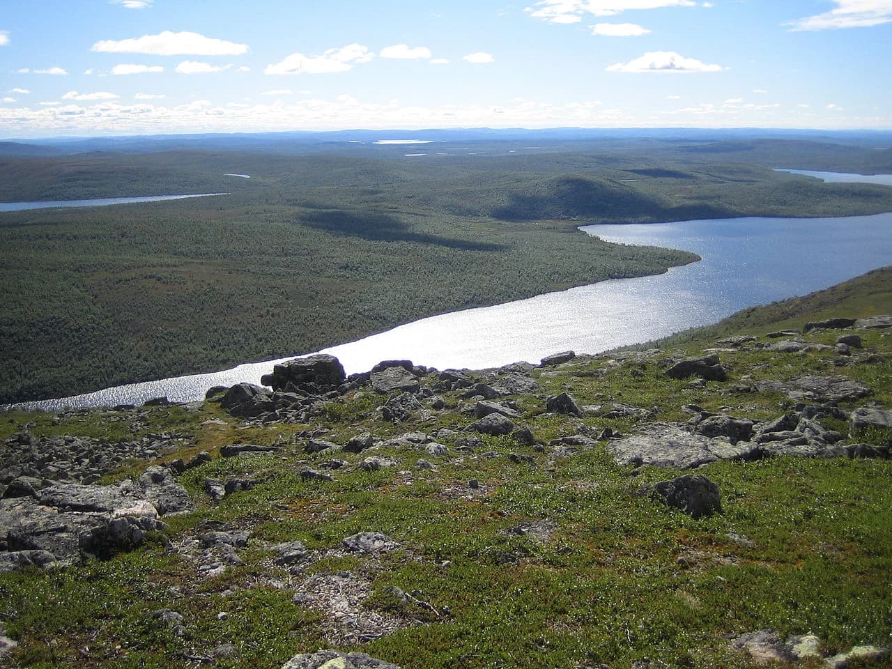
Muotkatunturi Wilderness Area
Finland · Lapland · Utsjoki
July–August; March for ski expeditions
A 1,554 km² designated wilderness area on the Norwegian border — one of the last genuinely roadless landscapes in Finland. No maintained trails, no huts beyond the basic. The north as it was.
Muotkatunturi is not a national park. There are no visitor centres, no printed trail maps, no infrastructure beyond a handful of basic wilderness huts (laavu) for emergency shelter. The area is designated wilderness under Finnish law — meaning development is permanently prohibited and reindeer herding takes precedence over recreation. The landscape is open fell plateau with small lakes, treeless except in sheltered valleys. The Tenojoki river forms the Norwegian border to the north and is one of the most important Atlantic salmon rivers in Europe. A small number of experienced wilderness travellers visit each year, navigating by map and compass. This is for people who want Lapland on its own terms.
More to see nearby

Siida — Sami Museum and Nature Centre
Finland · Lapland · Inari
The national museum of Finnish Sámi culture, on the shore of Lake Inari. Its permanent collection traces 10,000 years of Sámi life.
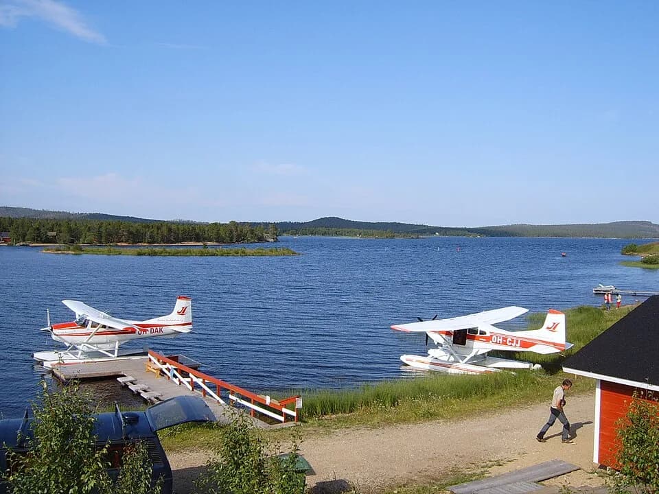
Lake Inari
Finland · Lapland · Inari
Finland's third largest lake, 1,040 km² of open water and 3,000 islands. Sacred Sámi fishing grounds in the far north of Lapland.